hard
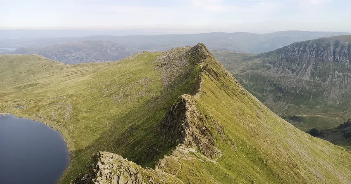
Helvellyn
Patterdale
11.2 km (7.0 mi)Distance
6hDuration
909 mAscent
CircularRoute type
About this walk
A straightforward ascent of England's third highest peak via the popular Swirral Edge approach. The broad summit plateau offers panoramic views over Ullswater and the surrounding Eastern Fells.
Ratings
Technicality3 / 5
Enjoyability3 / 5
Route Map
Tap map to interact, or expand for full view
Loading map...
This walk is free, and always will be
No paywall, no account needed. If this route helped you plan a day out, a small donation covers the hosting and the fact-checking behind it.